Skydive Spaceland is located on a private 134-acre airpark built for skydiving operations 25 minutes south of Reliant Stadium in Houston, off of State Highway 288 in Rosharon. Get directions below.
Do you need help getting to Spaceland? We do not have a shuttle service, but you can usually get out here easily with Uber or Yellow Cab: (713) 236-1111.
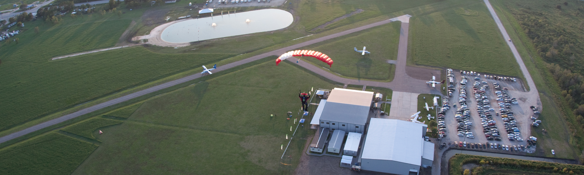
Are you flying here in your own plane?

For those of you flying into Skydive Spaceland in your private plane, here is the location:
B&B Airpark
16111 FM 521
Rosharon, Texas 77583
Phone: 281.369.3337
NOTE: Pilots must contact management via telephone before arrival for landing instructions
Identifier: TE88
Lat: 29° 21′ 05″ N
Lon: 95° 27′ 06″ W
**Listen for parachute activity on 123.15 MHz.
👉 Learn more about aircraft operations at our airport in this flyer! Feel free to share it as well.